Custom system
Bezpieczne Bielsko-Biała
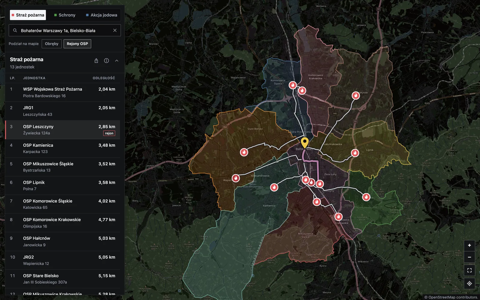
A map that shows, for a chosen place in Bielsko-Biała, the road distance to fire stations, shelters and iodine distribution points. Routes are computed in the browser on a static page with no server of its own, and the results were measured against OSRM with an explicit agreement criterion.
Technologies used
- OpenStreetMap
- OpenLayers
- TypeScript
- Vite
- Playwright
- GitHub Actions